-
Website Maps out the Deficit of Parks in California
"ParkScore maps interactive park and health-related information to help advocates make the case for increasing park and open space investments in their communities. "
Parkscore is a website set up by the Trust for Public Land to show areas of California severely in need of new parkland. The website uses the standard of a minimum of 3 acres per thousand residents. By this standard, MOST of California has a shortfall of parkland.
http://www.parkscore.org/THE CONTROVERSY:
There is another part of the website, titled "park equity", that is likely to arouse controversy however. Unlike the findings of the "park deficit" page, in the first county for which "park equity" data is shown, which is San Mateo County, only a few areas are rated "high priority". Areas that are rated as "low priority" however also fall below the minimum standard of 3 acres per thousand people. So the use of this data can be rather subjective depending on the motives of the user. In Los Angeles, I have seen data like this used to pit one area of the city against another in a battle to see who gets park funding.
For example, the L.A. Times reported on a study by the University of Southern California Center for Sustainable Cities,
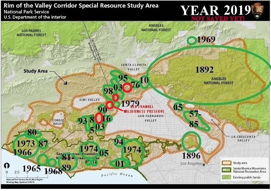
http://greenvisionsplan.net/html/welcome.htmlhttp://greenvisionsplan.net/html/documents/17_access_parks_and_park_facilities_in_the_green_visions_plan_region_081508.pdfwhich concluded that 85% of the population of L.A. County has inadequate access to parks, defined as the nearest park being more than 1/4 mile away. The study then attempted to show that by ethnic makeup, white-dominated neighborhoods have 20 times as much park space as Latino-dominated neighborhoods. The problem with the methodology of this study, which has been cited frequently by the press, is that it doesn't differentiate between active, usable parkland and steep mountainsides. Most of the parkland in predominantly white neighborhoods of Los Angeles are the mountain parks in the Santa Monica mountains and the Angeles National Forest. In most cases, the only "usable" part of these mountain parks is the trails. Unlike the typical park in a residential neighborhood, most mountain parks do not contain ballfields, picnic areas or any flat land suitable for active recreation except for the avid hikers out there. So the claim that some parts of Los Angeles have vast amounts of usable parkland compared to other neighborhoods is like comparing apples to oranges. In fact, organizations that track the parkland deficit in the USA draw a line between "active" park acres and the more generic term of "open space" which can include ballfields but also wetlands, lagoons, lakes, rivers, mountains and beaches, much of which cannot be used for active recreation.
see this chart from the L.A. Times, and then read the fine print at the bottom of the chart:
http://www.flickr.com/photos/cityprojectca/1333092487/in/set-72157601195589320/The facts are that the entire city is below the standard for active parkland, as the "park deficit" page on the ParkScore website shows. The urban areas of California are all in desperate need for more parkland, and so we support saving it whenever and wherever it is available.